


Interview with Dr. Kamal Labbassi

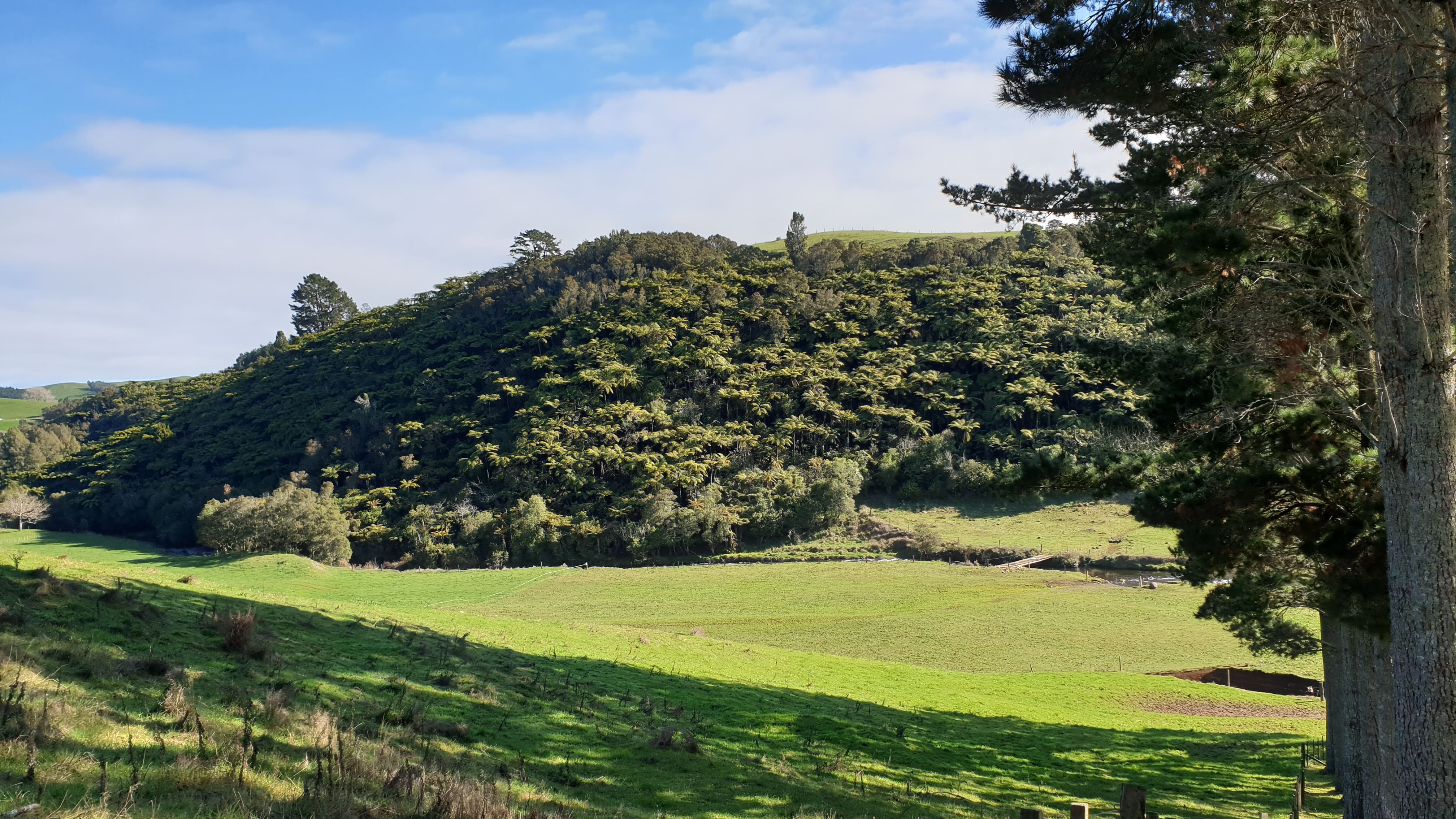
The following interview with Dr. Kamal Labbassi, President of the African Association of Remote Sensing of the Environment (AARSE), focuses on the role of space technologies and Earth observation in water resource management, capacity building, and sustainable development in Africa. Water is a strategic and vital resource for the continent, particularly in regions affected by scarcity, climate change, floods, and droughts. Drawing on his long-standing experience in remote sensing, research, and policy advisory roles, Dr. Labassi explains how space technologies provide critical information on water availability, quality, and spatial distribution, supporting integrated and evidence-based water management. The interview highlights his early engagement with the ESA-led TIGER initiative, which pioneered the use of Earth observation for water management in Africa through networking, training, and free data access, and discusses lessons learned from continental programs such as GMES and Africa.
The importance of capacity building and user-driven approaches is emphasized, particularly the need to identify stakeholder needs across the full water management chain and to foster inclusive, non-fiscal incentives for knowledge sharing and community building. The work and achievements of AARSE are outlined, including its role in awareness raising, training, international cooperation, and policy support across Africa. The interview further explores regional experiences, especially from the Sahel, where satellite-based monitoring and early warning systems for droughts and floods offer valuable lessons despite ongoing challenges related to infrastructure, data access, political stability, and human capacity.
Dr. Labassi also reflects on Africa’s space policy and strategy, underscoring the importance of Earth observation and geospatial information for environmental monitoring and natural resource management across a vast and diverse continent, as well as the coordinating role of the African Space Agency. International cooperation initiatives, such as the Digital Belt and Road program, are discussed with a focus on water-related research using big Earth data. The interview concludes by highlighting recent advances in space technologies for water, remaining gaps in the global debate – particularly around equitable data access, capacity building, and interdisciplinary collaboration – and the central role of science and cooperation in achieving the Sustainable Development Goals related to water, climate action, and ecosystem preservation.