Photo by Srhussainpk. CC.
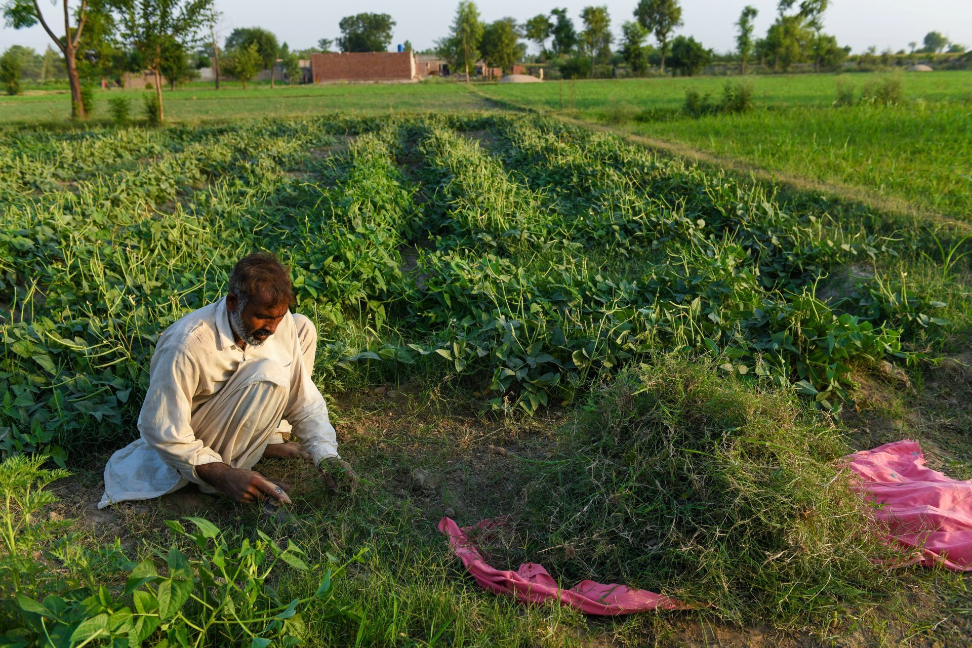
In Central Asian countries, including Pakistan, local farmer communities and water user associations play a pivotal role in managing irrigation demand for agriculture. In agriculture, the sector with the highest water demand and strategic water management is no longer optional it is essential for ensuring long-term national food security and this need becomes even more critical in the context of increasing water scarcity.
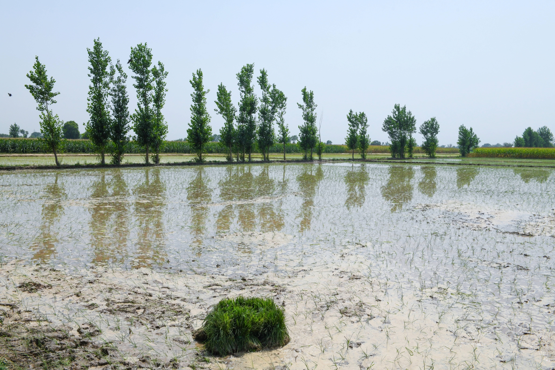
(i). Within Warabandi system, which is a rotational method of water distribution, remains a lifeline for millions of farmers. It allocates fixed time slots for water delivery based on landholding size, requiring farmers to utilize their share efficiently.
(ii). However, without reliable methods to estimate their short-term water requirements, farmers often rely on guesswork and experience. This results in either overuse leading to wastage and inequity or most of the time underuse, which affects crop productivity.
(iii). One of the most pressing needs, therefore, is the ability to accurately forecast irrigation water demand to support timely and efficient scheduling within the constraints of the Warabandi system.
Has this problem been acknowledged in the past?
This problem is being addressing in response to a request from the Pakistan Agricultural Department, supported by the On-Farm Water Management (OFWM) Department, which previously initiated efforts to promote efficient water use in agriculture through tools like the Efficient Water Usage Application. These initiatives highlighted the need for timely, data-driven irrigation decision support, particularly under the Warabandi system. Building on this foundation, my study aims to strengthen irrigation demand forecasting by integrating satellite remote sensing data, meteorological forecasts, and historical water delivery records.
Can this challenge be solved using space technologies and data?
I am addressing this challenge by integrating several and satellite-derived datasets to develop a reliable irrigation demand forecasting system. I am using vegetation indices such as Normalized Difference Vegetation Index (NDVI) and Enhanced Vegetation Index (EVI) from Landsat to monitor crop health and growth stages. These indicators help estimate water demand more accurately. Land Surface Temperature (LST) data from Landsat sensors to assess plant stress and support the calculation of Actual evapotranspiration (ET). I am also incorporating ET calculations from PySebal model to better understand crop water use. Soil moisture data from Soil Moisture Sensor capture root-zone water availability. In addition, I am utilizing weather forecast data derived from satellite-based from ECMWF and Pakistan Meteorological department to incorporate forecasted precipitation, temperature, and solar radiation into the prediction pipeline.
Expected timeframe to develop a solution
The expected timeframe to develop the solution is 9 to 10 months, with the goal of delivering a complete decision support system by the end of this year. This includes model development, integration of satellite and meteorological data, validation with field inputs, and deployment of advisory services targeted toward farmers.
Potential consequences if no action happens
If no action is taken to address this challenge, farmers operating under the Warabandi system will continue to rely on guesswork and traditional practices to make irrigation decisions, leading to inefficient and inequitable water distribution. This can result in over-irrigation in some areas and water shortages in others, ultimately reducing crop productivity and increasing stress on already scarce water resources.
What are additional physical requirements for a solution?
The physical requirements needed for implementing this solution include a combination of technological infrastructure and field-level support systems to ensure effective data collection, processing, and dissemination of irrigation advisories. These include such as Reliable internet connectivity and access to cloud infrastructure are essential for processing satellite and weather forecast data in real time using platforms like Google Earth Engine or AWS. Adequate computing resources are also needed to handle geospatial data processing, train machine learning models, and generate advisory outputs efficiently. Field-level data collection tools, such as soil moisture sensors, handheld GPS devices, and mobile applications, are important for ground truth validation and calibration. To ensure that farmers can access the advisories, smartphones or even basic feature phones are necessary for receiving SMS- or app-based messages.