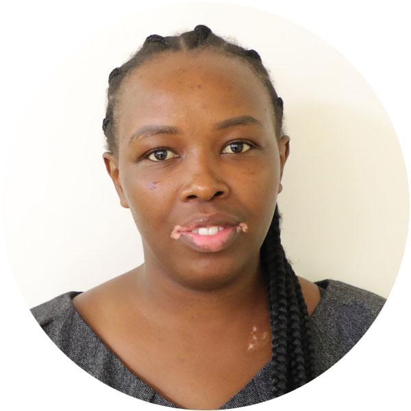
Interview with Venkataraman Lakshmi, John L. Newcomb Professor of Engineering at University of Virginia and President, Hydrology Section, American Geophysical Union

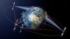
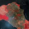
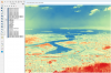
In this insightful interview, Prof. Lakshmi shares how space technologies are transforming our understanding of Earth’s water systems. Using satellite sensors that detect visible, infrared, microwave, thermal, and gravity data, he studies key variables like soil moisture, precipitation, and vegetation to track water movement across the planet.
As President of the American Geophysical Union’s Hydrology Section—home to nearly 10,000 global members—he helps coordinate scientific committees, awards, and one of the largest gatherings of Earth scientists at the AGU Annual Meeting.
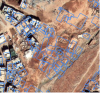
One of his many standout projects involves downscaling soil moisture data from NASA’s SMAP satellite. By integrating data from MODIS and VIIRS instruments, his team has refined soil moisture resolution from 9 km to as fine as 400 meters—which is critical for applications in agriculture, weather forecasting, and climate science.
Looking ahead, he emphasizes the urgent need for efficient water use in agriculture, which consumes 70 per cent of global freshwater. He advocates for innovation and smarter water management, especially in the face of population growth and climate extremes.
His advice to young professionals? Dive into water science—it’s at the heart of global challenges like droughts, floods, and wildfires. And when asked what drives innovation, his answer is simple: motivated young minds.


")