

Geospatial technologies and remote sensing offer a crucial location element to the monitoring of Sustainable Development Goals and their corresponding targets and indicators. The unprecedented “power of where” allows for unbiased observation and analysis across borders, administrative boundaries, and nations. With the recent adoption of the Sustainable Development Goals (SDGs) and the call by UN Secretary General for a “revolution” in the use of data for sustainable development, geospatial technologies have tremendous potential to effectively and efficiently monitor SDG progress. Since the adoption of the Millennium Development Goals (MDGs), the amount of data available, as well as data collection and processing methods have changed substantially.
Yet there is still a gap between the technology world and the world of environmental decision- and policy-makers. Despite the tremendous potential geospatial technologies offer, there are still traditional fears among practitioners that prevent their uptake. Furthermore, these technologies are constantly changing and improving, making it even more difficult for practitioners to track the updates about the potential use and application of technologies, such as geographic information systems (GIS) and remote sensing.
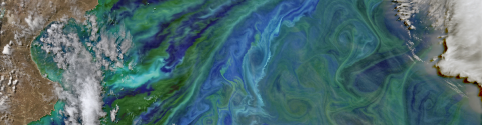
The workshop, run in cooperation with the United Nations, provides an opportunity for water professionals to get updated on the latest advances in geospatial technologies and remote sensing, and their application to the monitoring of water-related SDGs. The primary focus of this workshop is ICT application in water management and water security. It will cover a number of technologies including remote sensing, geospatial technologies, data publishing, and decision-support systems, among others. In particular, the role of satellite-based earth monitoring and remote sensing for environmental studies and management will be discussed, highlighting their potential and limitations. The course will contribute to disseminating recent research results and raising awareness about potential ICT benefits.
This course is part of a series of “Bridging ICTs and the Environment” workshops that aim to address that gap: providing in-service education and professional training for environmental decision-makers and practitioners, who are in a position to greatly benefit from this data revolution to better shape management strategies and to make more informed, data-driven decisions.
Target Group
The target group for the workshop includes National Focal Points of international conventions, environmental practitioners, and researchers involved in water and SDG-related issues. No prior experience in geospatial technologies is required.